Goes along
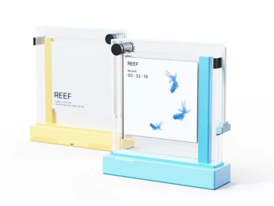
Reef: A Digital Aquarium That Turns Screen-Free Time into a Gentle Ritual
The “Reef” concept by designer Sumin Kim reimagines digital detox as a calming experience, not a res…
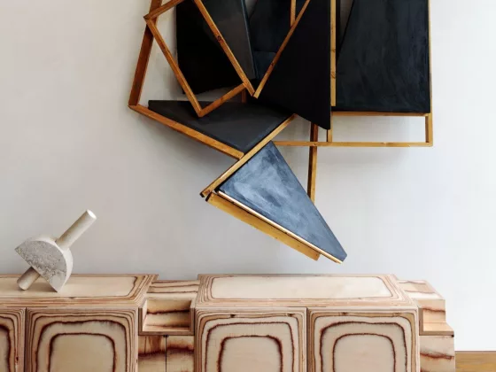
Pacific Credenza – Sculptural Surf-Inspired Storage
Meet the Pacific Credenza by Kelly Wearstler—a vision where storage becomes art, a celebration of Ca…
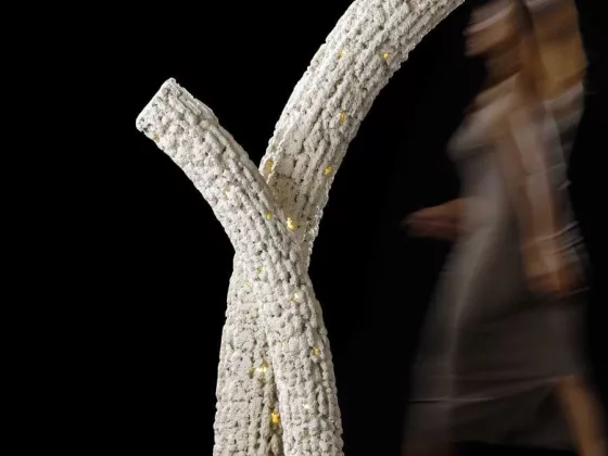
Corallite by Sanjay Puri Architects – Coral-Inspired Illumination & Sculptural Living
Introducing Corallite, a poetic fusion of design, sustainability, and oceanic inspiration. Conceived…
You might also like

Living in Mexico. 40th Ed.
Experience the vibrant culture and stunning architecture of Mexico with Living in Mexico. 40th Ed.. …
Miquel Barceló Oceanographer: Dive into Coastal Living
Step into a world where the ocean meets art with the Miquel Barceló Oceanographer mural, born from t…
Fishing: The Ultimate Book
A sanctuary for the modern angler, Fishing: The Ultimate Book is a refined exploration of a lifestyl…
Surfing. 1778–Today
Dive into the rich history of surfing with Surfing. 1778–Today, an expansive chronicle of the sport …
The Gulf Coast: A Wildsam Field Guide
Wildsam’s Gulf Coast is an intentional companion for the traveler who seeks the soul of the shorelin…
Mechanical Flying Fish by STODEER
Enhance your home or office decor with the Stodeer Innovative Metal Model. This advanced 3D metal pu…