Unique 3D Contour Maps of Iconic Coastlines

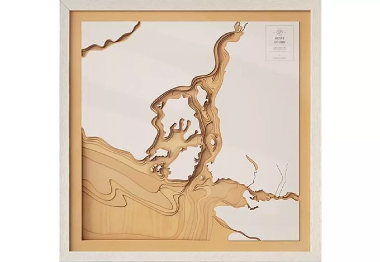
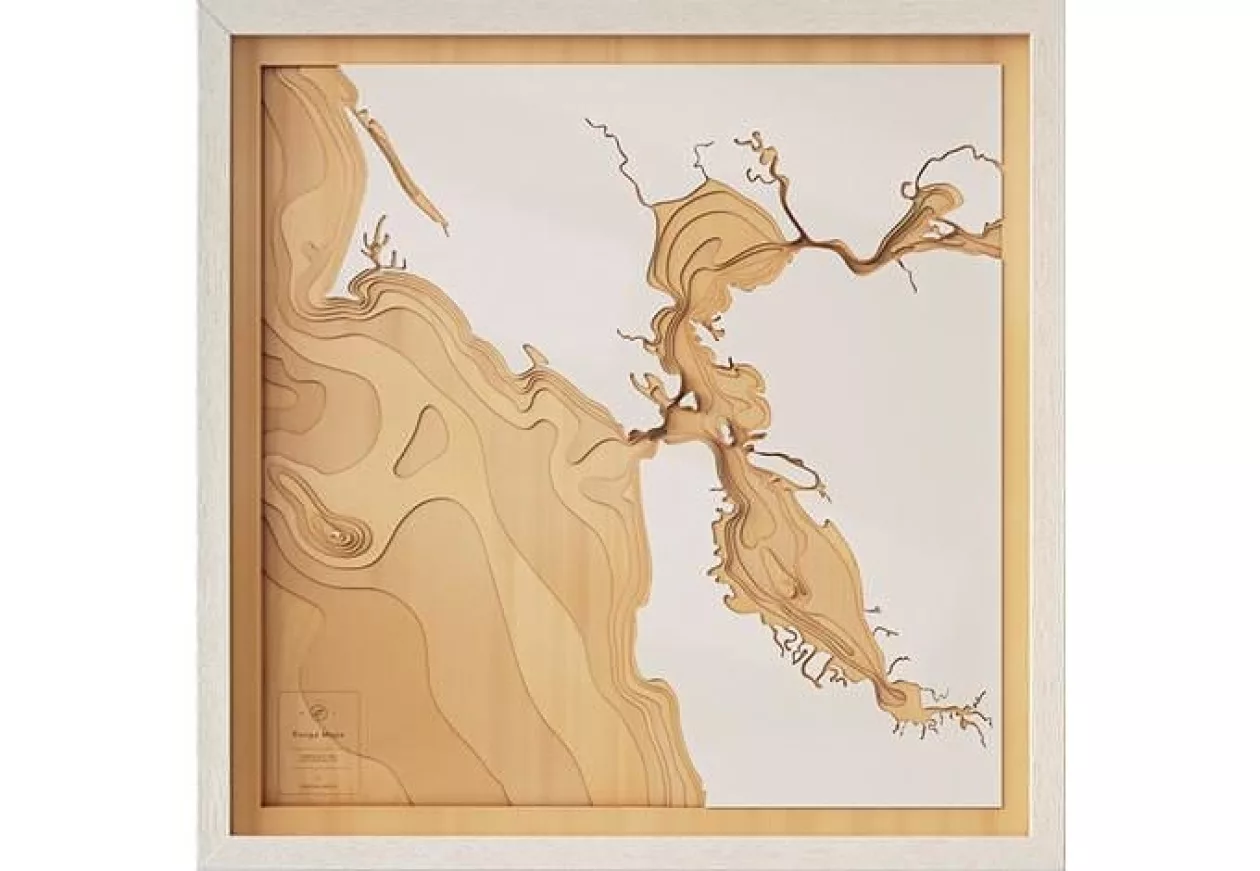
Each Pangea's map is hand-sketched. Their meticulous design using bathymetric data and capture the finest details of the coastline. Nature’s waterscapes provide such interesting and unique lines and patterns. They love to balance the contrast and interplay between land and sea, finding the best composition for each piece.

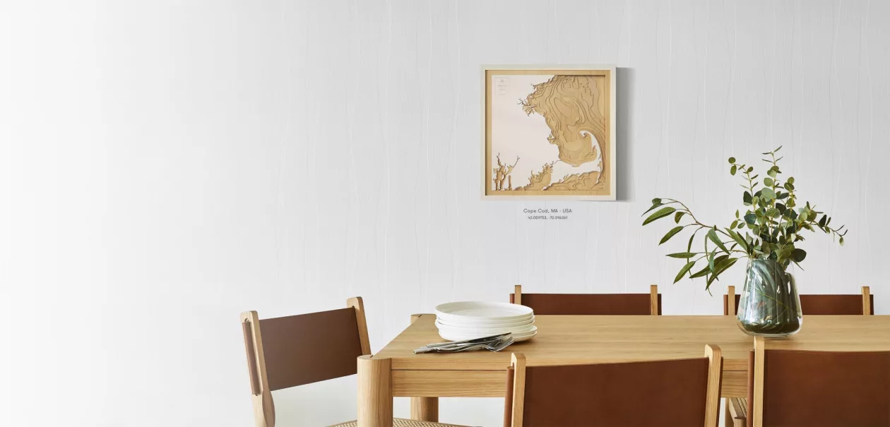
The top layer symbolizes the land, and the surrounding wood layers cascade down, to reveal the ocean floor in stunning detail. The design phase can take anywhere from 1 hour to 1 day, depending on the location and the level of detail.

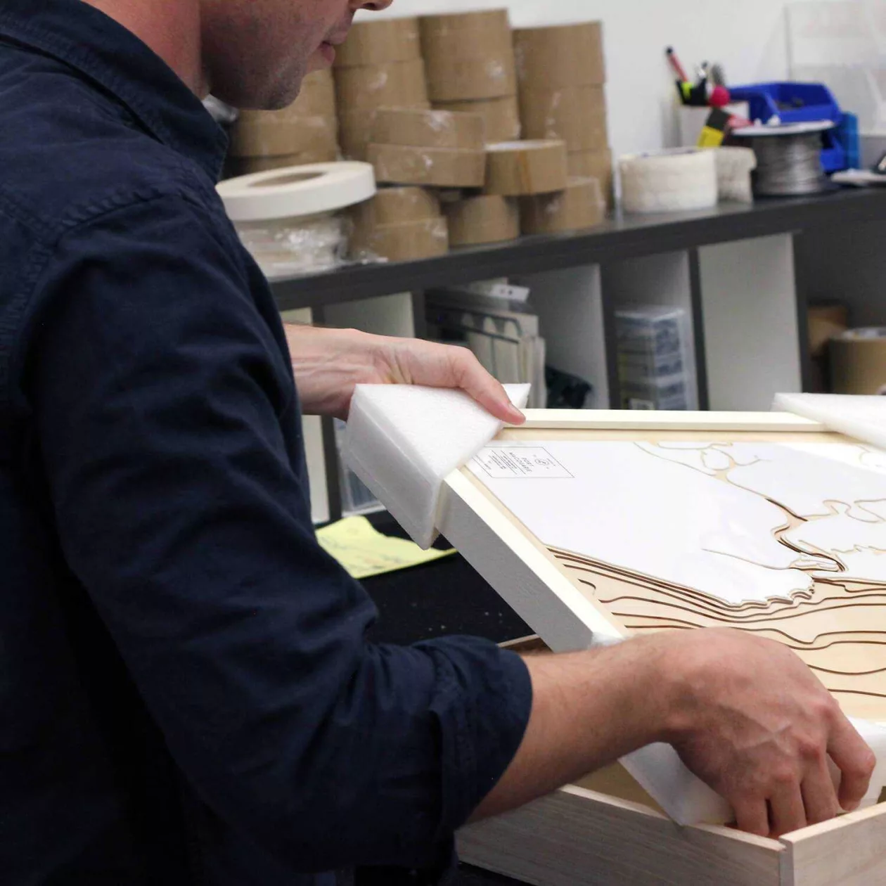
The maps come framed, ready to hang, with a beautiful hardwood frame and are protected with shatter-proof plexiglass. If you are not 100% happy with your map Pangea will happily refund you.

Goes along

You might also like

1

The Mechanical Nautilus Model

Dive into a world where artistry meets innovation with the Creative Mechanical Metal Nautilus Model.…
657
Miq 1

Miquel Barceló Oceanographer: Dive into Coastal Living

Step into a world where the ocean meets art with the Miquel Barceló Oceanographer mural, born from t…
265
7a52241971b1eab10e952046381e90a3

Michael Muller. Sharks: Face-to-Face with the Ocean’s Endangered Predator

Dive in to a thrilling underwater adventure with Michael Muller. Sharks: Face-to-Face with the Ocean…
492
Cc802f5da4eb27af66ac977cb23995c4

Surfing. 1778–Today

Dive into the rich history of surfing with Surfing. 1778–Today, an expansive chronicle of the sport …
743
027

Mechanical Flying Fish by STODEER

Enhance your home or office decor with the Stodeer Innovative Metal Model. This advanced 3D metal pu…
762
Palms book supremarine

Martius. The Book of Palms

Explore the lush beauty of palm trees with Martius. The Book of Palms, a stunning collection of bota…
292